Flood Risk Vulnerability in San Francisco
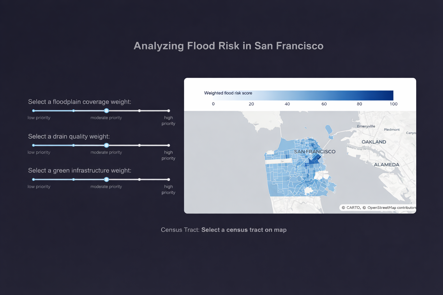
An interactive dashboard analyzing how infrastructure, environment, and socioeconomic factors shape flood risk and community vulnerability across San Francisco.
Explore final projects and reports from past semesters in CP255 and CP101 for inspiration and examples of different project types.
An interactive dashboard analyzing how infrastructure, environment, and socioeconomic factors shape flood risk and community vulnerability across San Francisco.
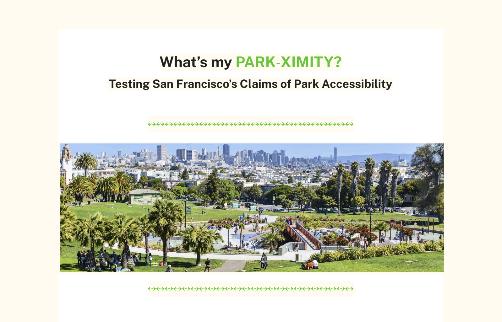
A spatial analysis project measuring overall park accessibility in the greater city of San Francisco using park quality, location, and low-stress travel routes.
A data and spatial analysis project examining transit reliability and service equity across Oakland by linking AC Transit performance with neighborhood demographics.
A spatial and statistical analysis project exploring how Airbnb short term rental regulations relate to changes in residential noise complaints in New York City.

A regional transit accessibility analysis examining how time of day affects job access by public transit in Alameda County, with a focus on equity priority communities.
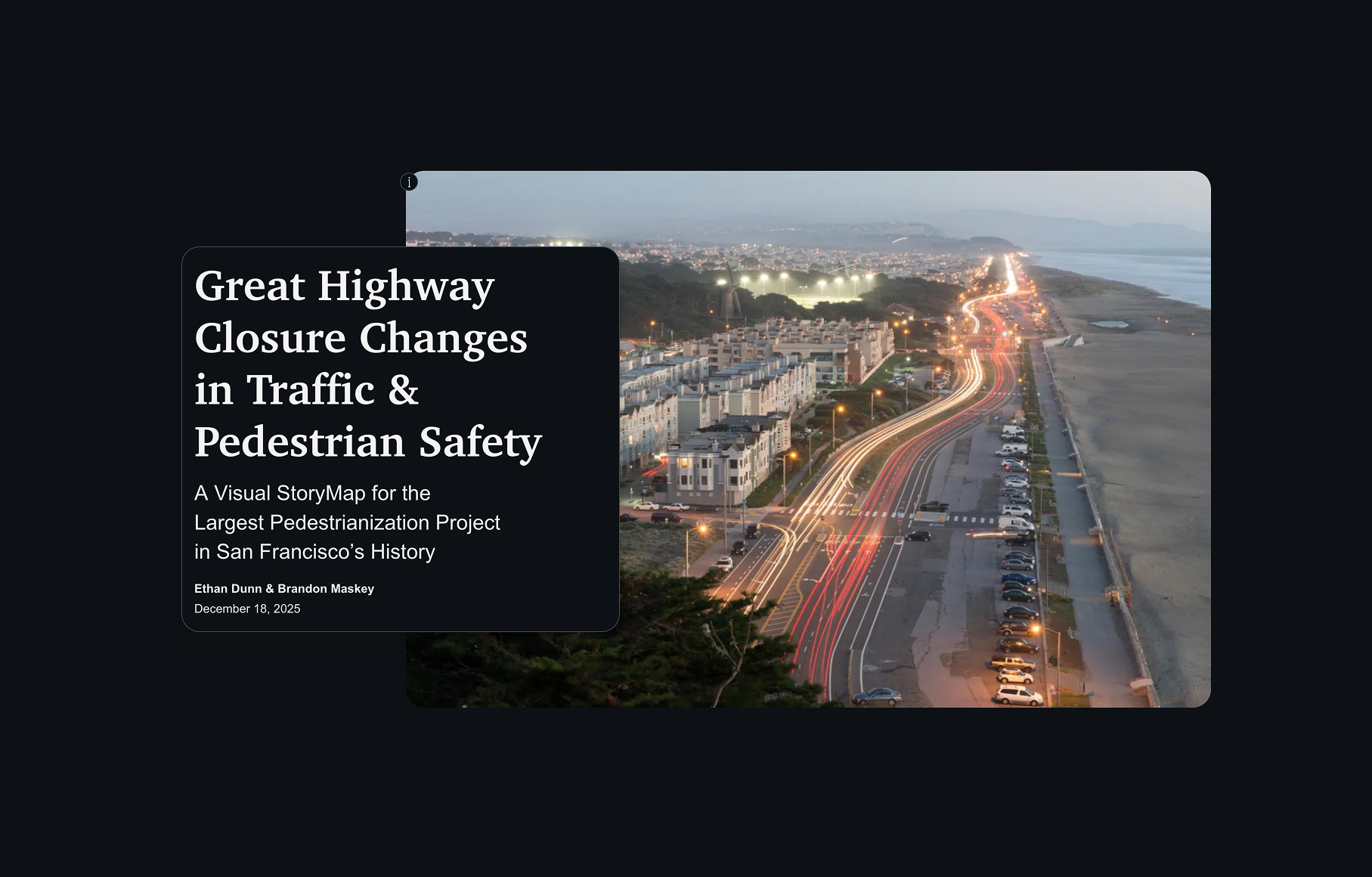
An analysis of how the Great Highway closure in San Francisco affected traffic patterns, mobility, and pedestrian safety outcomes across nearby neighborhoods.

A transit equity analysis examining how ridership and transit access patterns changed across BART stations in the city ofBerkeley over time.