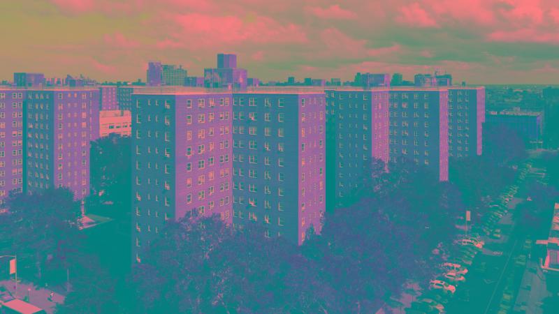
Decarbonization in New York City’s Public Housing
How New York City is working to cut carbon emissions across its public housing system, and what decarbonizing aging residential buildings involves.
Explore final projects and reports from past semesters in CP255 and CP101 for inspiration and examples of different project types.
How New York City is working to cut carbon emissions across its public housing system, and what decarbonizing aging residential buildings involves.
Where climate risk, housing availability, and access to resources overlap, and which communities sit at that intersection.
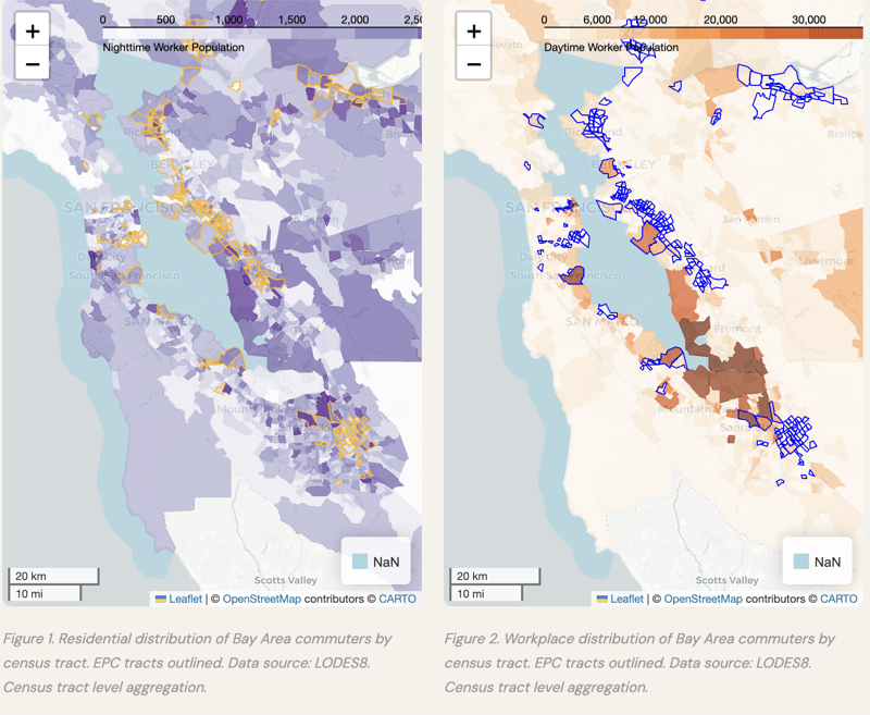
A study of how commute flows and transit access differ between Equity Priority Communities and other Bay Area neighborhoods, using LODES8 origin-destination data, ACS statistics, and transit routing analysis.
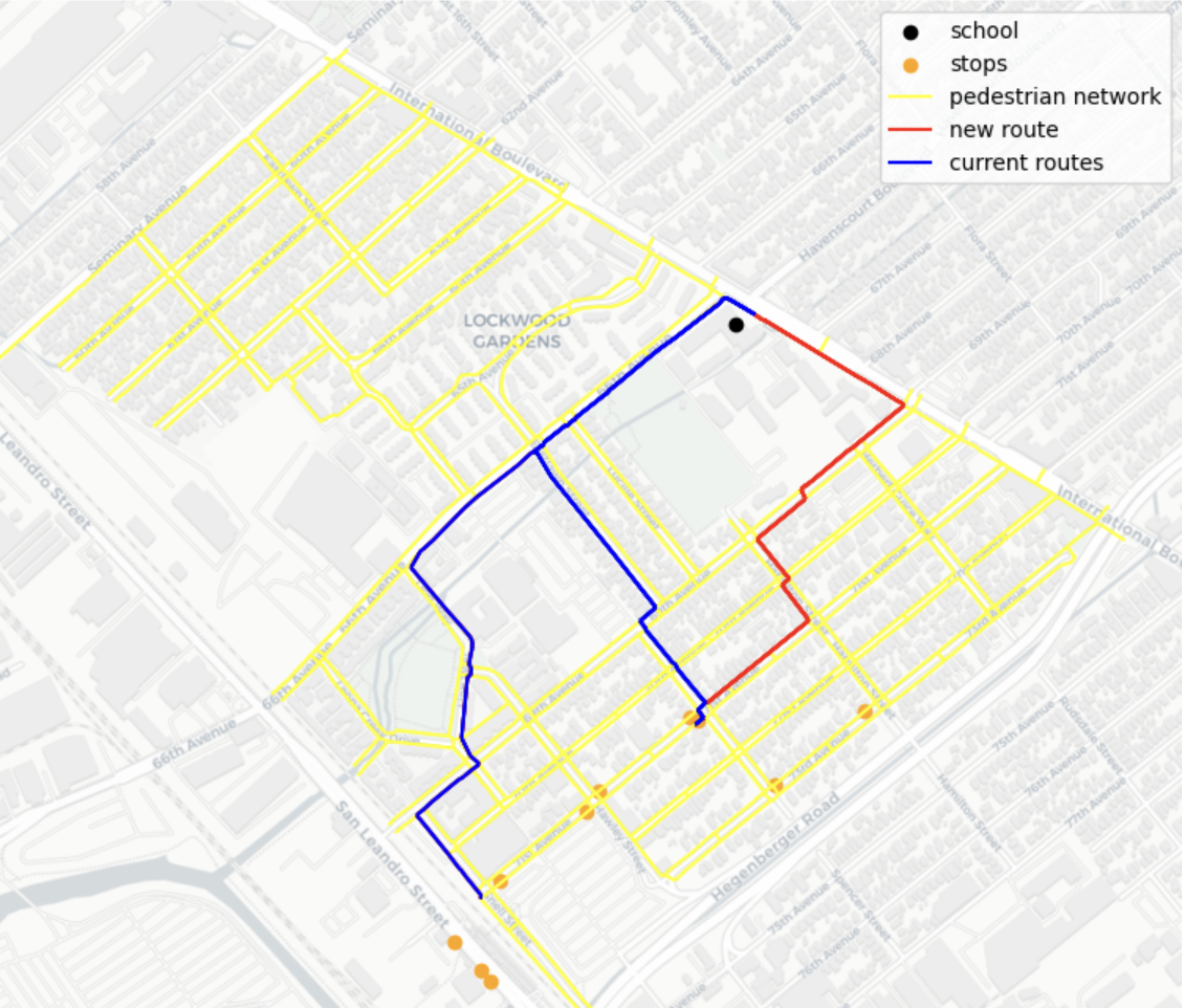
A priority index for missing sidewalk connections on routes to school in Oakland and Alameda County, built from Tile2Net satellite imagery, AC Transit data, and census demographics.
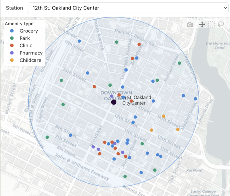
Whether peripheral BART and Caltrain stations are systematically worse served than central ones, measured by walkable amenity access across 79 stations using FY2025 ridership, OpenStreetMap, and 2024 census estimates.
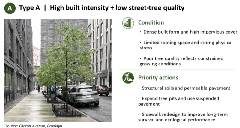
Where street-tree quality is unevenly distributed across New York City census tracts, combining the street-tree inventory, land cover, building morphology, and ACS socioeconomic indicators to flag priority tracts.
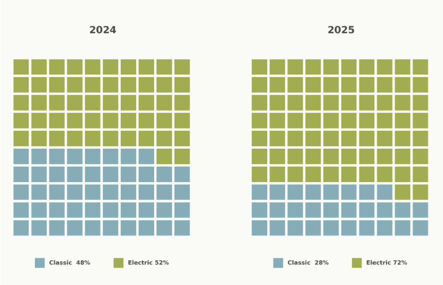
How the built environment shapes bikeshare use, drawing on nearly a million BayWheels trips from Berkeley and Oakland stations between 2020 and 2025.

A comparison of remote-work adoption across Bay Area industry sectors before and after the pandemic, using 2019 and 2023 as bookends.

What Senate Bill 79 means for communities across the San Francisco Bay Area.

A project on San Francisco.

An interactive dashboard analyzing how infrastructure, environment, and socioeconomic factors shape flood risk and community vulnerability across San Francisco.

A spatial analysis project measuring overall park accessibility in the greater city of San Francisco using park quality, location, and low-stress travel routes.
A data and spatial analysis project examining transit reliability and service equity across Oakland by linking AC Transit performance with neighborhood demographics.

A spatial and statistical analysis project exploring how Airbnb short-term rental regulations relate to changes in residential noise complaints in New York City.

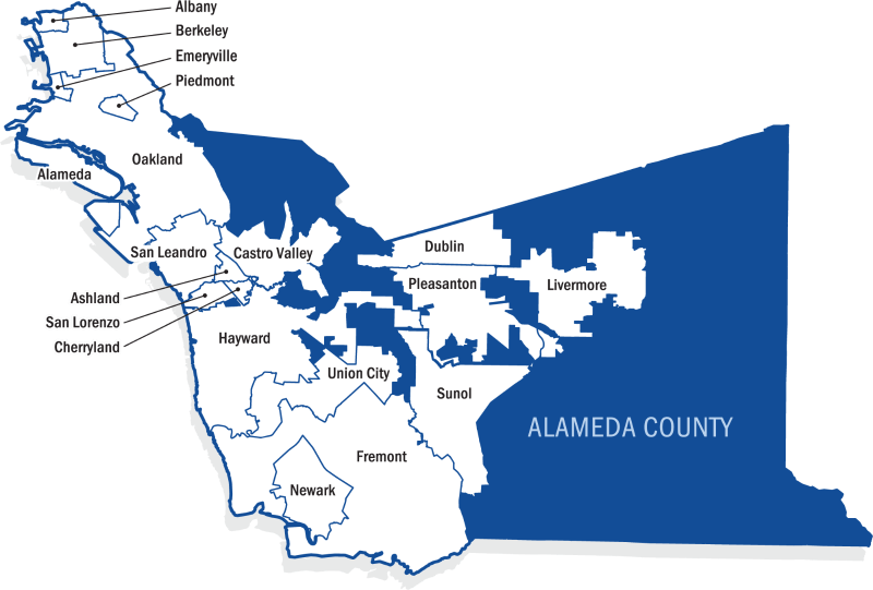
A regional transit accessibility analysis examining how time of day affects job access by public transit in Alameda County, with a focus on equity priority communities.

How the Great Highway closure in San Francisco changed traffic patterns, mobility, and pedestrian safety in the surrounding neighborhoods.

A transit equity analysis examining how ridership and transit access patterns changed across BART stations in the city of Berkeley over time.

An equity analysis of tree canopy coverage across Alameda County school districts, examining how environmental benefits vary with district socioeconomic conditions.
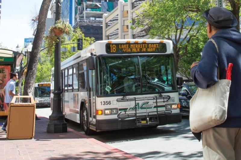
How transit accessibility in Berkeley shifts by neighborhood and time of day, with attention to mobility needs and car ownership.
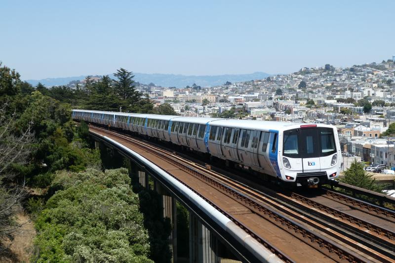
What the Antioch BART station could do to nearby housing costs, weighing better transit access against displacement and affordability pressures.
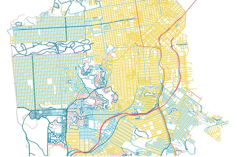
How the size and spread of neighborhood amenities track with socioeconomic and racial demographics across San Francisco census tracts.